Welcome back from the break! We hope you had a wonderful, relaxing time with family and friends, and are ready to get back to inspiring your students with your enthusiasm for learning!
Today’s Did You Know is a slightly less well known feature of Google Maps that has incredible implications for your study of human/physical characteristics and impact in geography and is probably one of my favorites tools to explore!
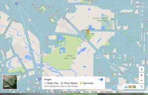
As you probably know, you can drag the little Street View guy from the toolbar onto the map and drop him anywhere there is a blue line to see the Street View imagery.
Once in Street View, you can look around just like you were there! You can stroll the streets, observing weather, transportation, architecture, commerce, etc. It is easy to spend hours and hours exploring new or old familiar places (I’ve done it!), but…
Did you know Google Maps will let you see historical Street View images???
That’s right! Not only can you explore, you can go back in time! Google is amazing!
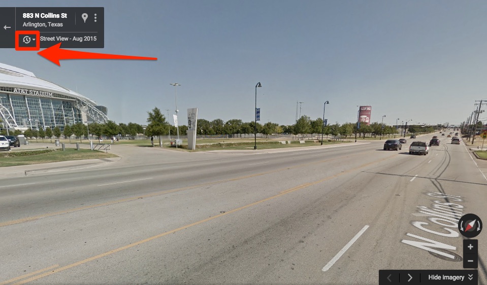
Oh look, here we are near the AT&T Stadium in Dallas! See that little clock symbol in the top left corner below the address? That’s the indicator that historical Street View is available. Click it!
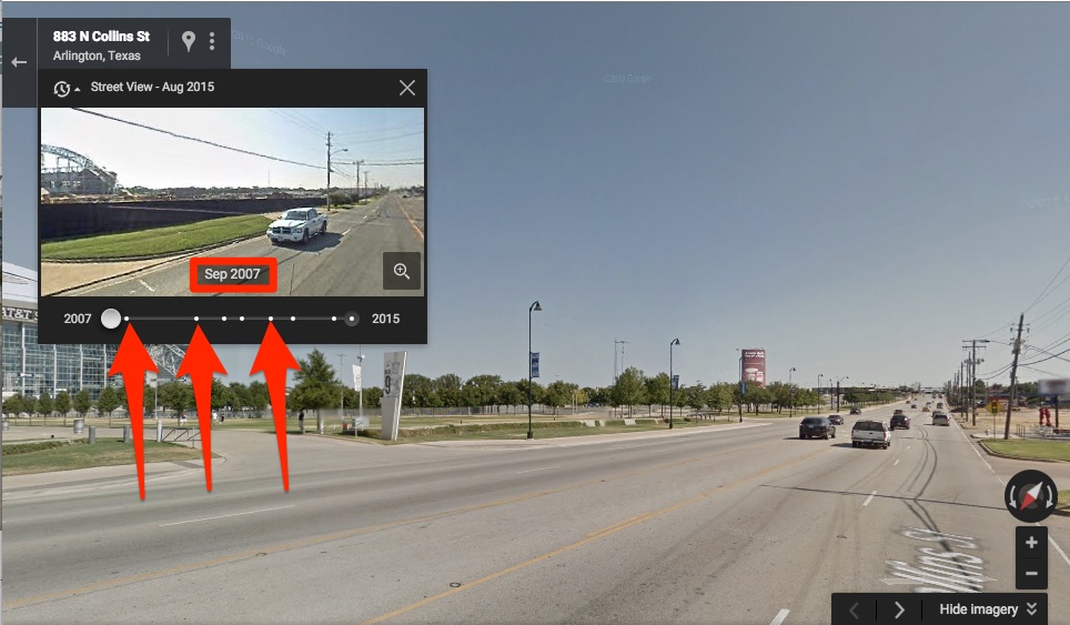
Each of those dots on that timeline is a snapshot in time when Google has Street View imagery of that location. As you can see, there are quite a few for this area. You can actually see the stadium being built!
As cool as that is, a stadium that big has quite an impact on an area. So we could look around on the other side of the street and see which business have changed over the years and talk about why. We could go all around the stadium and notice what has changed since it was built. This could lead to some powerful (and educational!) conversation about the human impacts on an area.
See if historical Street View is available in your community or a large city close to you. Talk about the changes in businesses and development over time and why those things have happened. Have more people moved to the area? What kind of impact does that have on a community?
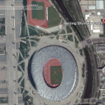
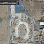
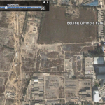
Another cool thing to do is look around some of the sites of the formers hosts of the Olympics. They don’t all have historical Street View available, but you can use Google Earth (free download) to see even more historical satellite photos, which really show the economic impact of such a significant event.
How cool is that?? Imagine all the powerful conversations that could be sparked by your students’ observations of this series of photos!
Happy Googling!



Leave a Reply